MAPS
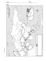
Use a printable outline map that depicts Asia to enhance your geography or history lessons. A map scale is included,…
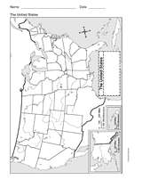
This printable outline of the United States of America is a great printable resource to build students geographical…
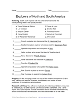
Learn about discovery and exploration in North and South America with this social studies printable. Students will match…
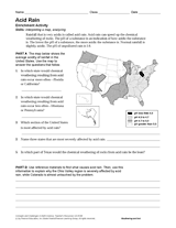
Learn about acid rain through the reading passage, U.S. mapping activity, and research questions in this Earth science…
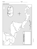
This printable outline of Central America is a great printable resource to build students geographical skills. This is…
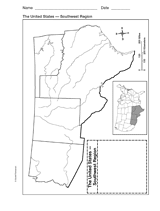
Explore the geography of Texas, Arizona, Oklahoma, and New Mexico with a printable outline map that depicts the…
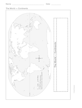
This printable outline of the continents is a great printable resource to build students geographical skills. This is an…
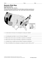
Use the map and key in this printable to evaluate the earthquake risk of different regions in the United States.
Explore Down Under with your child and this map. This printable map outlines the boundaries and regions of Australia.
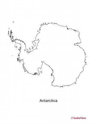
This blank map of Antartica is a great printable resource to teach your students about the geography of this country.…
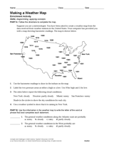
Use the data in this Earth science printable to create a weather map of the United States.
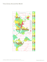
Connect geography, math, and science with this printable. Students will interpret a map and answer questions about time…
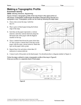
Follow the steps in this Earth science printable to make a topographic profile of a map.
Gauge students' knowledge and understanding of maps and Earth's structure with this printable exam. In the first…
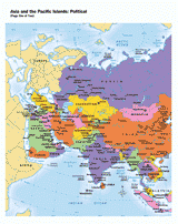
Use this printable map with your students to provide a political and physical view of Asia and the Pacific Islands.…
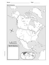
Help your students improve their geography skills with a printable outline map that depicts North America.
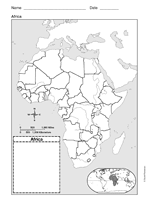
This printable outline map of Africa is a great printable resource to build students geographical skills. This is an…
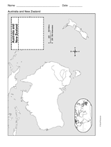
This printable outline of New Zealand and Australia is a great printable resource to build students geographical skills.…
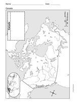
Study geography with a printable outline map that depicts Canada.
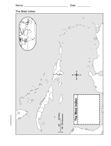
This printable outline of West Indies is a great printable resource to build students geographical skills. This is an…
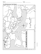
This printable outline of Mediterranean Sea Region is a great printable resource to build students geographical skills.…
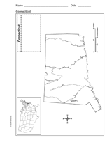
Use a printable outline map that depicts the state of Connecticut.
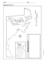
Use a printable outline map that depicts the state of Maryland and the District of Columbia.
CLASSROOM TOOLS
Use this printable map with your students to compare time differences and visualize the boundaries of time zones around…