MAPS
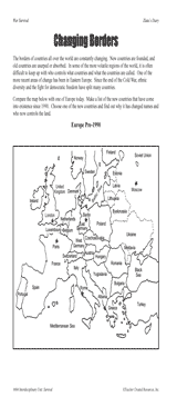
Students examine changing boundaries using a map of Europe, pre-1990.
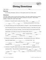
Your students will work on providing clear and coherent directions in this activity. The aim is for students to Fill in…
Students create a map that fits the events of a story.
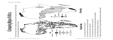
Students compare maps of Africa showing population density and climate.
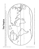
In this activity, students complete and illustrate a map showing the location of the tropics.
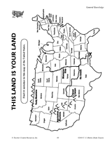
Find the errors in this map of the United States.
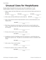
Students learn about latitude-longitude coordinates, while also learning interesting facts about the reptiles and…
ACTIVITIES
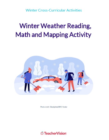
This winter themed activity packet for upper elementary or lower middle grades is perfect for helping students apply the…
WORKSHEETS
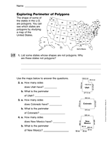
Students us a map of the U.S. to explore polygons and their perimeters.
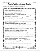
Teach children how to read maps with this printable Christmas game. This is a fun geography activity to enjoy during…
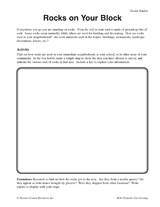
Students make a map of a neighborhood based on where rocks are being used.
Students make a map of volcanic activity and plate tectonics around the world.
Help your students get hooked on history through map activities and story-telling ideas that will make past events come…
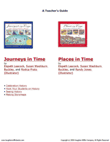
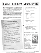
Connect geography and literature with extension activities for My Curious Uncle Dudley. This packet includes a printable…
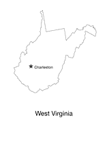
Blank outline map of West Virginia with state capital.
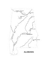
Outline map of Alabama with state physiography.
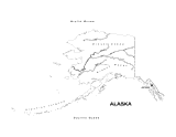
Outline map of Alaska with state physiography.
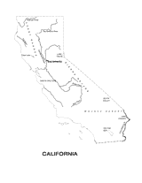
Outline map of California with state physiography.
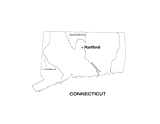
Outline map of Connecticut with state physiography.
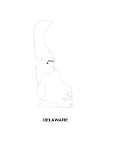
Outline map of Delaware with state physiography.
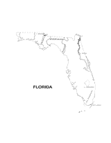
Outline map of Florida with state physiography.
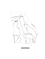
Outline map of Georgia with state physiography.
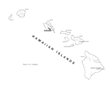
Outline map of Hawaii with state physiography.
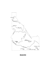
Outline map of Idaho with state physiography.