MAPS
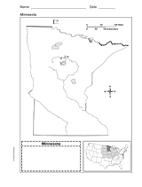
Use a printable outline map that depicts the state of Minnesota.
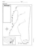
Use a printable outline map that depicts the state of Mississippi.
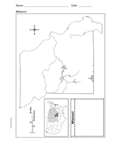
Use a printable outline map that depicts the state of Missouri.
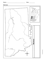
Use a printable outline map that depicts the state of Montana.
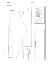
Use a printable outline map that depicts the state of Nebraska.
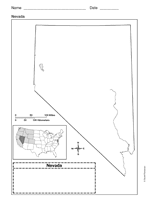
Use a printable outline map that depicts the state of Nevada.
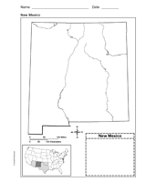
Use a printable outline map that depicts the state of New Mexico.
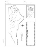
Use a printable outline map that depicts the state of North Carolina.
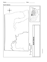
Use a printable outline map that depicts the state of North Dakota.
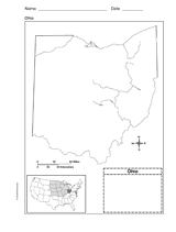
Use this printable outline map that depicts the state of Ohio in your next geography or social studies lesson.
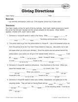
Your students will work on providing clear and coherent directions in this activity. The aim is for students to Fill in…
Students construct a topographic map.
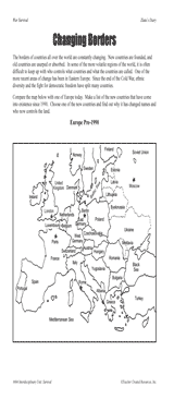
Students examine changing boundaries using a map of Europe, pre-1990.
GAMES AND APPS
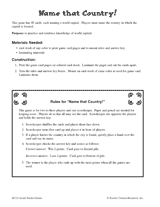
Choose from 45 capital cities, and name the corresponding country.
Students create a map that fits the events of a story.
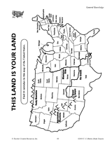
Find the errors in this map of the United States.
ASSESSMENT
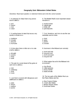
Find out how much your students know about the midwestern region of the United States. This quiz would be a great…
Find out how much your students know about the northeastern region of the United States. This quiz would be a great…
Quiz your students on the southeastern region of the United States. Capital cities, state locations, and climate are…
Quiz your students on the western region of the United States. Capital cities, state locations, and climate are among…
Connect geography and literature with extension activities for My Curious Uncle Dudley. This packet includes a printable…
Students learn about characteristics of U.S. regions by taking this printable geography quiz.
Challenge your pupils' knowledge of the world's tallest mountain with this printable geography quiz about Mount Everest.
Test your pupils' knowledge about characteristics of the world's mountains with this printable geography quiz.