MAPS
A chart listing the extreme geographical points of the United States.
A chart listing geographical highs, lows, and boundaries of the U.S.
A list of World Heritage sites in the United States.
Do you know what language is spoken in Belize? Look at this chart to find the answer to that question and what languages…
Zip codes and abbreviations of the United States.
EDITOR'S COLLECTIONS
Enhance your geography lessons with printable maps of the United States. The maps in this gallery depict U.S. regions,…
WORKSHEETS
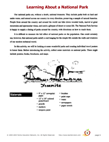
Enjoy an art project that is perfect for National Recreation and Parks Month (July). These are sample pages from our…
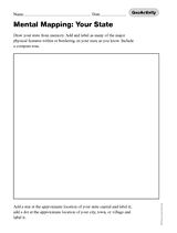
Handout a printable activity that asks students to draw their home state.
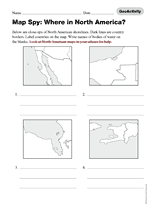
Handout a printable activity that asks students to name the countries in North America.
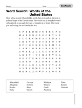
Handout a printable activity that asks students to find words associated with the United States.
Handout a printable activity that asks students to find words associated with state capitals in the United States.
Handout a printable crossword puzzle featuring the United States.
Handout a printable crossword puzzle featuring state capitals of the U.S.
This printable game has students racing against each other to see who can name the most states.
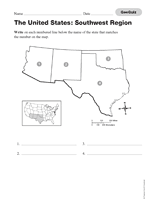
Use this printable geography quiz to assess students' knowledge of the names of the states of the Southwestern region of…
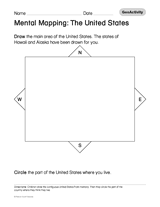
Handout a printable activity that asks students to draw the United States and circle where they live.
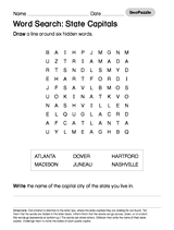
Handout a printable activity that asks students to search for a number of state capitals.
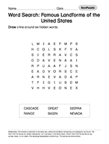
Handout a printable activity that asks students to search for famous landforms of the United States.
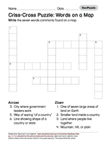
Ask students to fill in the words commonly found on a map using a printable puzzle.
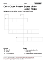
Ask students to write the names of five U. S. states using a printable puzzle.
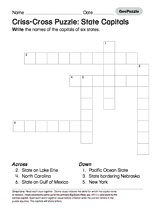
Ask students to write the names of six U.S. Capitals using a printable puzzle.
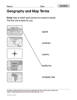
This printable quiz asks students to match pictures with geography and map terms.
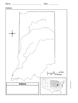
Use a printable outline map that depicts the state of Indiana.
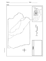
This printable outline map depicts the state of Iowa. Use this map in your next geography or social studies lesson.