MAPS
Do you know what language is spoken in Belize? Look at this chart to find the answer to that question and what languages…
REFERENCE
Read this country profile to learn about Canada's history, government, geography and economy.
Learn about the differences between climate maps, topographic maps, and others types of maps.
WORKSHEETS
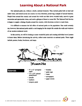
Enjoy an art project that is perfect for National Recreation and Parks Month (July). These are sample pages from our…
Zip codes and abbreviations of the United States.
EDITOR'S COLLECTIONS
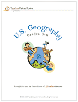
Enhance your geography lessons with printable maps of the United States. The maps in this gallery depict U.S. regions,…
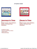
Help your students get hooked on history through map activities and story-telling ideas that will make past events come…
Share a book that challenges your students with critical-thinking activities focused on U.S. geography. Analogies,…
Children will research the scenery of a Hawaiian island, Kauai, with this printable.
Interesting facts and fun activities related to Oodaaq Island.
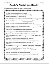
Teach children how to read maps with this printable Christmas game. This is a fun geography activity to enjoy during…
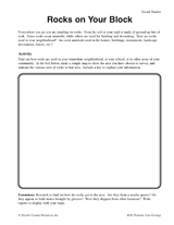
Students make a map of a neighborhood based on where rocks are being used.
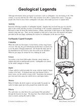
In this simulation, students pretend they were alive in ancient times and create their own legend to explain various…
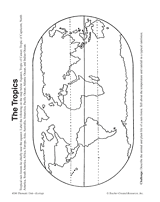
In this activity, students complete and illustrate a map showing the location of the tropics.
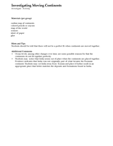
Students investigate how continents fit together by cutting up and piecing together the Earth's continents. Materials…
Students will learn about the origins of place names in the United States and examine how the names show our diversity.
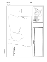
Use a printable outline map that depicts the state of Oregon.
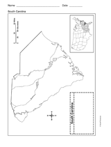
Use a printable outline map that depicts the state of South Carolina.
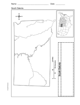
Use a printable outline map that depicts the state of South Dakota.
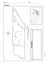
Use a printable outline map that depicts the state of Tennessee.
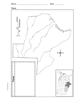
Use a printable outline map that depicts the state of Texas.
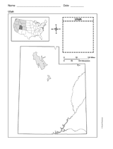
This printable outline map depicts the state of Utah. This will be a useful tool in geography and history classes.
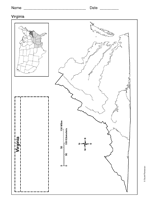
Use a printable outline map that depicts the state of Virginia.
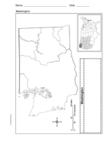
Use a printable outline map that depicts the state of Washington.