WORKSHEETS
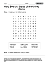
Handout a printable activity that asks students to search for a number of U.S. states.
MAPS
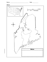
Use a printable outline map that depicts the state of Maine.
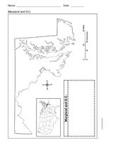
Use a printable outline map that depicts the state of Maryland and the District of Columbia.
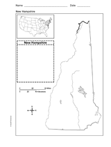
Use a printable outline map that depicts the state of New Hampshire.
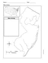
Use a printable outline map that depicts the state of New Jersey.
Use this printable reference sheet to help students understand map features.
Encourage students to learn about and visit national parks in your area and have them create a promotional poster to…
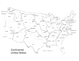
Use this U.S. map with physiography to help your students improve their geography skills. This map includes major…
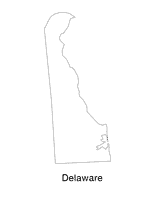
Help students understand the landform features of the state with this printable Delaware state map. Use it to support a…
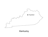
No lesson on "The Bluegrass State" would be complete without a state map of Kentucky showing the capital Frankfort. Use…
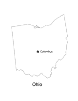
No lesson on "The Buckeye State" would be complete without a state map of Ohio showing the capital Columbus. Use this…
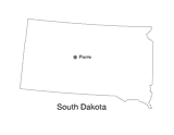
This printable black and white state map of South Dakota prominently features the capital Pierre. Students can print,…
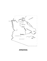
This printable black and white state map of Arizona includes all of the physiographic features for the state, and can be…
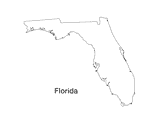
Print out a blank outline map of Florida to help your students learn more about the Sunshine State. This can be used…
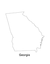
Print out a blank outline map of Georgia to help your students learn more about the this state. This can be used with…
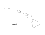
Blank outline map of Hawaii.
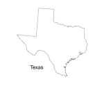
Print out a blank outline map of Texas to help your students learn more about the Lonestar State. This can be used with…
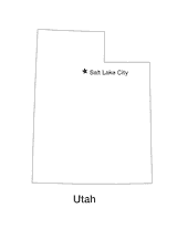
Blank outline map of Utah with state capital.
LESSON PLANS
Week 33: Geography questions to help students learn research skills and discover fun facts.
Hand out a printable computer activity that reinforces students' basic map skills, as they use the Internet to find the…
Students practice writing and word processing a letter to be used in The Great Mail Race.
A chart listing the extreme geographical points of the United States.
A chart listing geographical highs, lows, and boundaries of the U.S.
A list of World Heritage sites in the United States.