MAPS
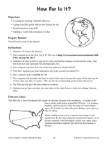
Hand out a printable computer activity that reinforces students' basic map skills, as they use the Internet to find the…
Students practice writing and word processing a letter to be used in The Great Mail Race.
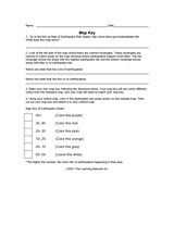
Use this worksheet to help students read map keys.
Using a map of the United States, children will identify the states with cold winters.
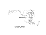
Use this Maryland state map to help students learn about its physical geography, including borders, state capital,…
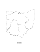
Outline map of Ohio with state physiography.
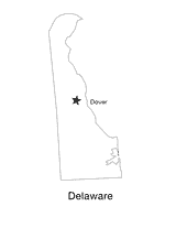
This printable black and white state map of Delaware includes the location of the capital city. Students can print,…
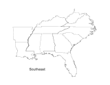
This printable map of the Southeastern United States can be colored and labeled as part of a quiz, test, or project.…
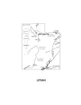
This printable black and white state map of Utah includes all of the physiographic features for the state, and can be…
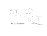
This printable black and white state map of Massachusetts includes all of the physiographic features for the state, and…
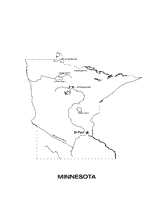
Use this Minnesota state map to help students learn about its physical geography, including borders, state capital,…
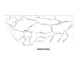
Use this Montana state map to help students learn about its physical geography, including borders, state capital,…
CHOICE BOARDS
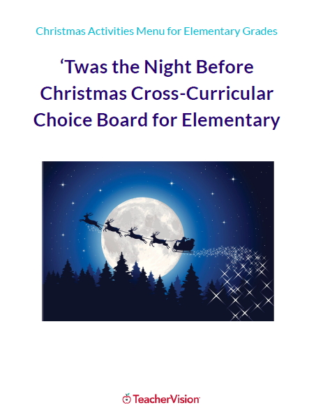
These cross-curricular Christmas activities for elementary students, inspired by the classic festive poem 'Twas the…
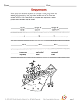
Learn geographic terms by studying how they are related to each other.
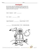
Geographical analogies.
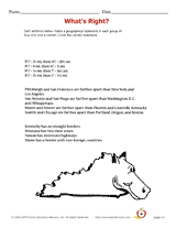
Decide which geographical statement is true out of four choices.
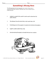
Students re-write incorrect geographical statements.
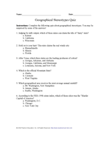
Students learn about characteristics of U.S. regions by taking this printable geography quiz.
EDITOR'S COLLECTIONS
Build students' geography skills with the maps and activities in this printable book. A range of maps covers both the…
Learn about the differences between climate maps, topographic maps, and others types of maps.
Do you know what language is spoken in Belize? Look at this chart to find the answer to that question and what languages…
Zip codes and abbreviations of the United States.
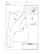
Use a printable outline map that depicts the state of Alabama.
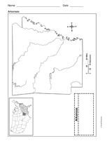
Use a printable outline map that depicts the state of Arkansas.