Subjects:
Build students' map skills with this printable and quiz!
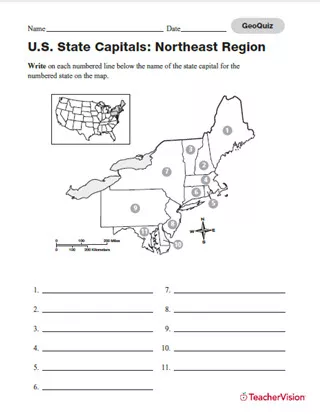
Assess students' knowledge of state capitals in the northeastern region of the United States with a printable geography quiz. Students will use map and geography skills to identify the 11 states in the Northeast Region, filling in the appropriate numbered space with the correct state name. The printable includes a reference diagram for where the region is located relative to the rest of the United States. An answer key is included.This worksheet can be distributed in class, or assigned as a homework exercise. As an additional challenge, students can color the individual states with unique colors to further identify them.